Erosion and Sedimentation Control
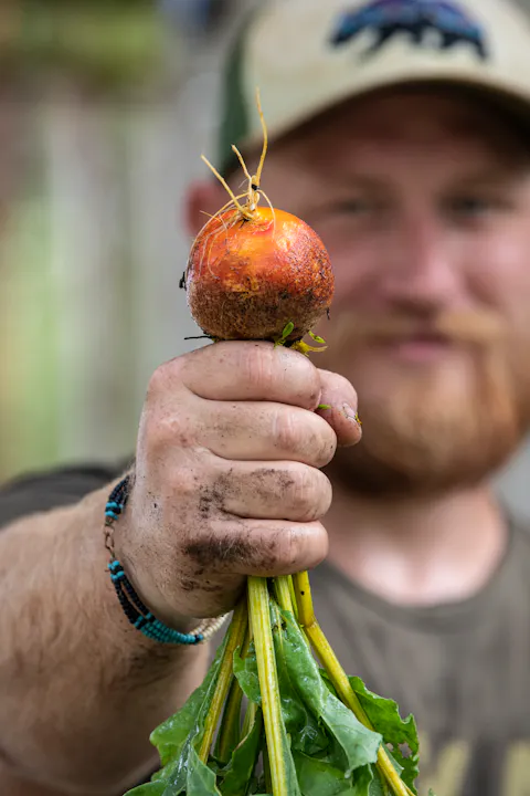
Scientists and organizations throughout the watershed are studying human impacts and looking for ways to restore and improve the health of the watershed, such as, identifying and mitigating sources of water pollution, protecting native fish, like the Santa Ana Sucker, or preventing soil erosion, runoff and sedimentation in our waterways.
The Riverside-Corona Resource Conservation District (RCRCD) provides technical, on-the-ground assistance to private and public landowners and managers in the greater Riverside area, per Divison 9 of the California Public Resources Code Article 1 Policy 9001 Section B Article 2.

Farmers, homeowners, and businesses with properties larger than one acre may be eligible to receive free erosion and sediment assessment, and related conservation plans.
Reports are meant to provide the landowner options in the management of surface water runoff and drainage issues.
Services include specifications for the installation of conservation practices, such as erosion control structures.
Staff also conduct these assessments on our restoration projects.
Drainage, erosion and sedimentation management on RCRCD projects, as well as district services with cooperators, address these impacts using the following tools:
- Site Assessments
- Conservation Plans
- Irrigation Water Management Evaluations
Not all tools would be needed for small-scale problems, but larger sites such as agricultural lands, landscape slopes and swales, or open space with impacts from adjacent properties could implement recommendations from a site assessment or a more extensive conservation plan. These technical services are provided by RCRCD to landowners or managers on larger sites, usually one acre or more, that have significant problems with erosion control, sediment accumulation or drainage issues.
On smaller properties or ones in residential neighborhoods, local landscape contractors, civil engineers or erosion control specialists that have the equipment and materials to manage erosion and drainage problems can be contacted for further assistance with physical alterations or improvements to those properties.
RCRCD’s staff also provides resource data and planning tools, including soil and irrigation testing, soil survey maps, and other technical information.
Urban Areas

If applied too quickly, water may run off the surface before it can infiltrate into the soil. Runoff often causes erosion, which creates sediment, a pollutant to local waterways. Most runoff is not from the soil surface but from water being applied to hardscapes.
In urban areas, erosion processes are often accelerated by human activities and altered landscapes. Erosion degrades water quality by contributing sediment and pollutants to runoff. Altered landscapes can be treated with a variety of erosion control methods. Reestablishing plants will effectively hold soil. Other methods include mulches, retaining walls, terraces, drain lines, geo-textiles, woven mats, hydro-seeding, and tackifiers.
Sediment and other construction-related pollutants can easily enter waterways as runoff. Storm water pollution prevention plans must be required and enforced for construction sites. These plans help ensure that sediment and attached pollutants do not enter waterways. Sediment control methods include silt fences, sand bags, straw bale barriers, sediment traps and basins.
Agriculture
The purpose of drainage control is to reduce surface erosion, which if not controlled, can reduce crop yield and can expose tree roots to damage. Surface erosion can also remove topsoil and associated nutrients, and reduce plant growth.
The RCRCD supports local agriculture in a variety of ways including assisting landowners with erosion control, non-point source pollution, and assessing flood damage potential.
Restoration Projects
The district owns and operates reserve lands and conservation easements in the Riverside and Corona areas and in the Temescal and San Jacinto River sub-watersheds of the larger Santa Ana River.
The Conservation District improves degraded habitat by removing invasive species and trash, replanting native plants, restocking native animals, protecting soil from erosion, protecting water from pollutants, and more.
RCRCD also protects waterways and their inhabitants as part of post-fire recovery efforts.
For more information about these services, contact Kerwin Russell at (951) 683-7691 Ext. 203 or russell@rcrcd.org.